Capulin Volcano
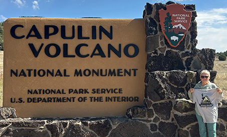
National Monument, New Mexico
By Marise Boehs
The longest, hardest 1.5 miles I’ve ever walked!
But one of the most rewarding.
We stopped at this National Park in northern New Mexico on our way home during a family road trip to Colorado.
My travelling partner kept saying, “Oh, it’s a quick, easy little hike. We’ll stop for an hour or so and you can see.”
And it was gorgeous! Not that easy though. Halfway up the 300’ climb I was huffing like I’d been on the StairMaster for too long already.
But there was so much natural beauty along the way it was so worth it.
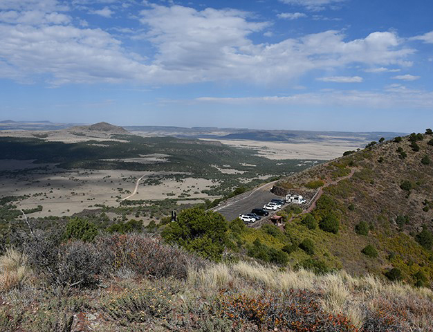
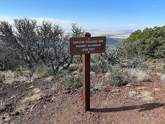
The view from the top is incredible. You can see for miles and easily imagine cattle on the Sante Fe Trail driving through to Raton Pass and far off to the left you could even see Black Mesa in Oklahoma.
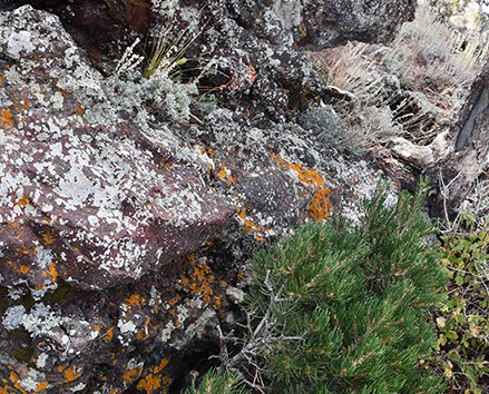
The knarly juniper trees have a special attraction to me and the lichens along the rocks, mixed in among vegetation, are impressive.
ABOUT THE TRAIL
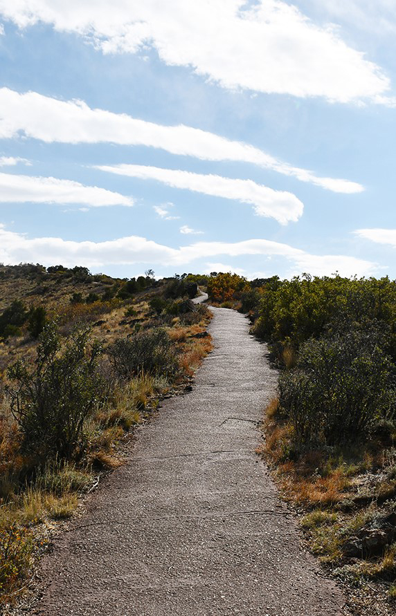
The Rim Trail of Capulin Volcano offers stunning views in all directions. The mile-long trail gains 305 feet of elevation above the parking lot, with a 12% grade and provides views of the crater and the surrounding volcanic landscape.
The vent trail is .2 mile down to the bottom of the crater with an elevation change of 105 feet.
IF YOU GO
Capulin is located between Raton and Des Moines on Hwys 64 and 87 in northern New Mexico. The monument is a few miles north. Check the website for hours of operations and other information
www.nps.gov/cavo/index.htm
